GPS will get you there, but maps show you why you want to go.
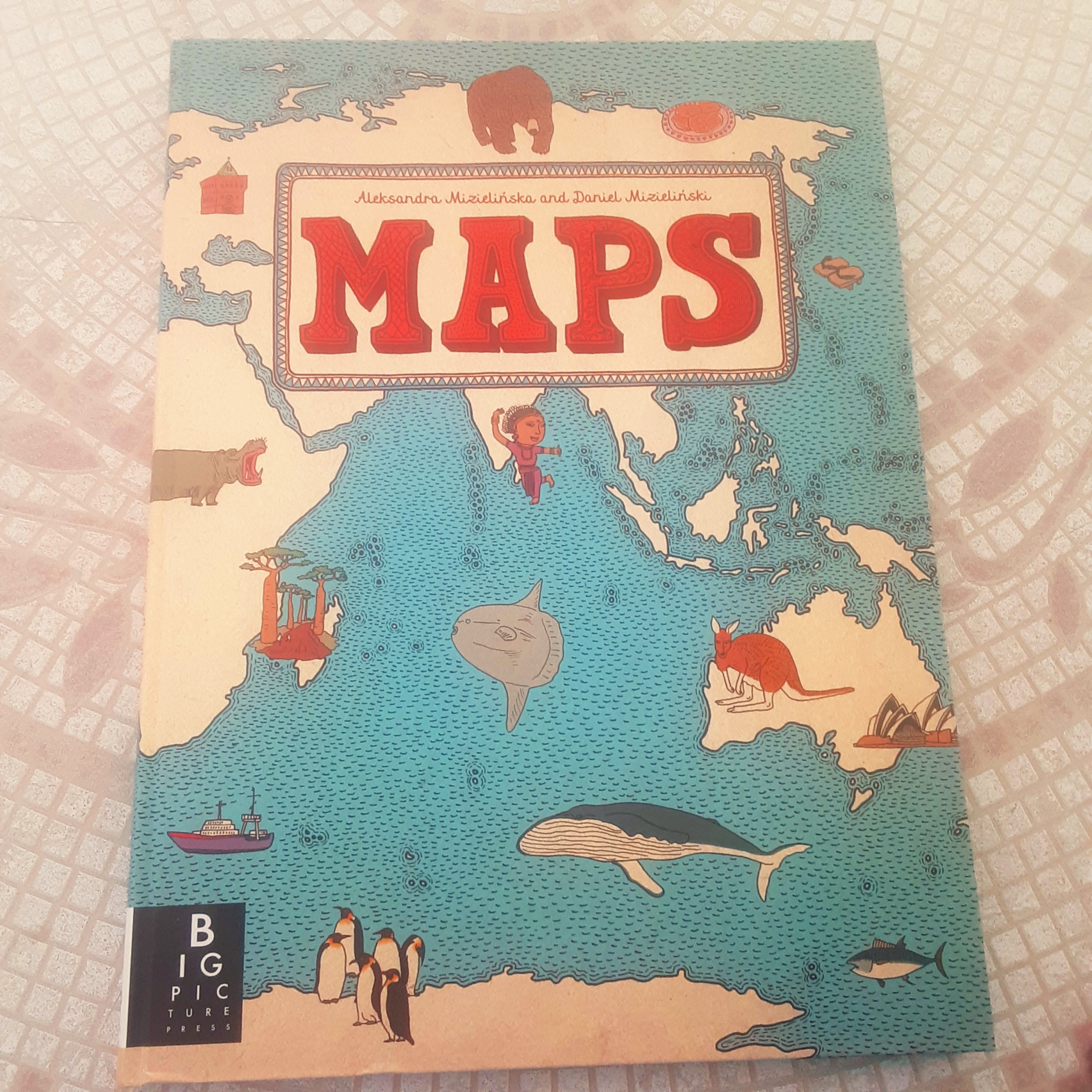
Maps by Aleksandra and Daniel Mizielinski c2012 US Edition c2013 Big Picture Press / Candlewick Press : Somerville
This book presents geography in a very BIG way. Its oversize pages open to double-page spreads featuring continents and countries of the world. Each country outline is filled with detailed images of cultural sites, physical features, foods, famous people, sports, and animals that make each region unique. You will find an image of a boy and girl in each country with names that they might be given. There are images of dwellings and the people who might live in them. Famous landmarks and cities are represented. Mountains, deserts, lakes, oceans and rivers are shown with creatures that can be found in and around them. Plants, trees, crops that are grown, all get attention here. Interesting facts and activities tell how people live and adapt to their environment. The map of the Netherlands shows how polders for farming are created by draining the water from areas that were once sea. Another image shows a flower market, and windmills, of course! This book, in a word, is fascinating, for any age.
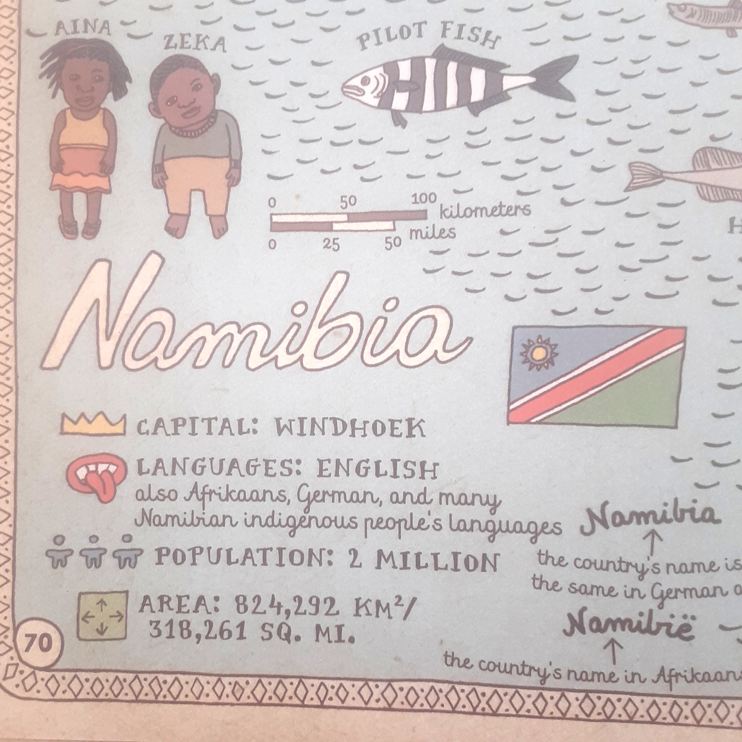
Map key for Namibia
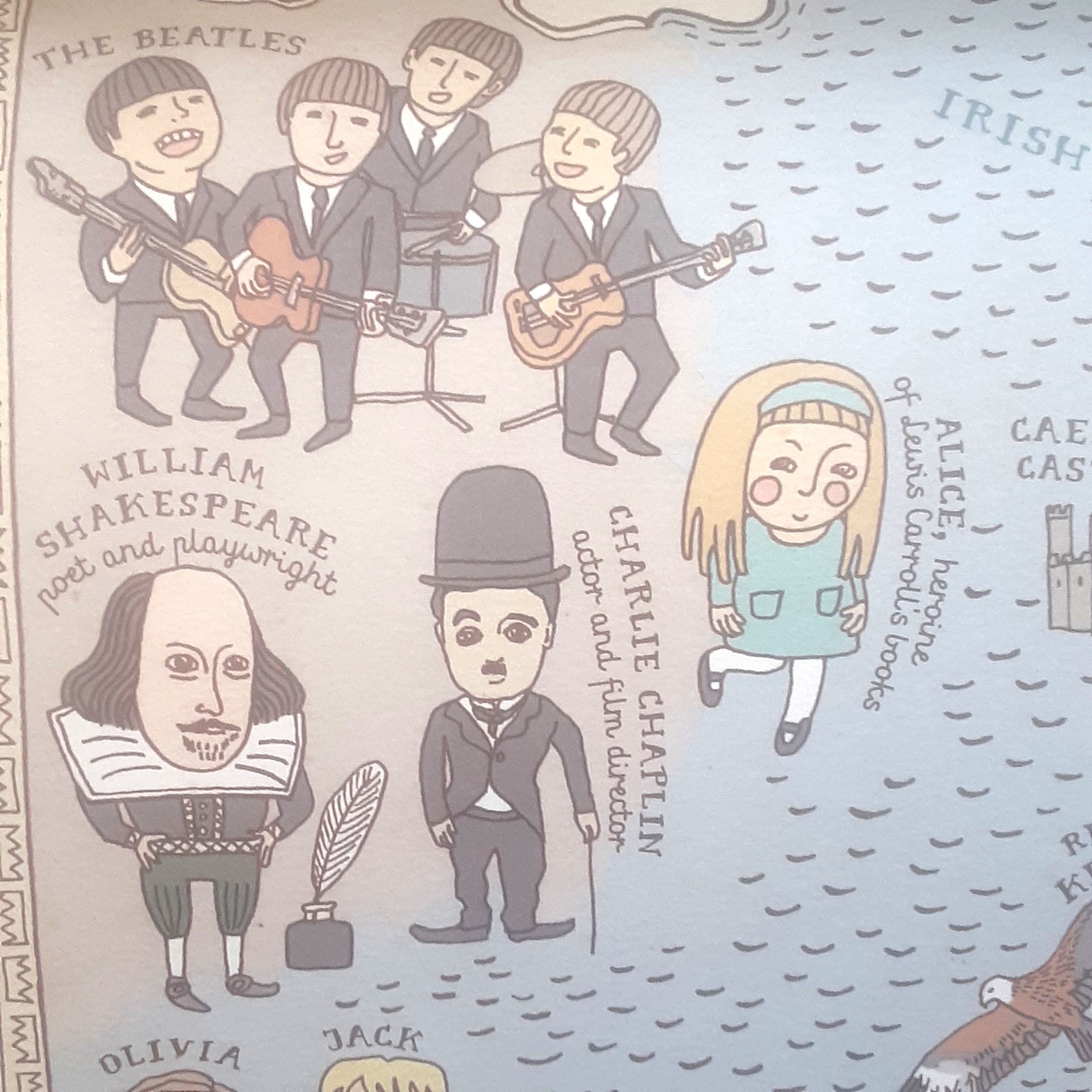
Noteworthy folk from the United Kingdom
Sweden
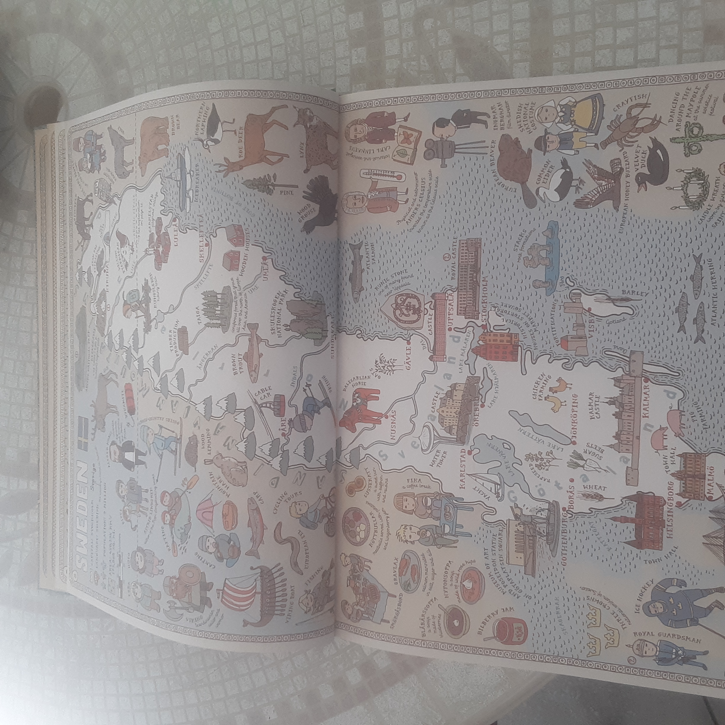
For teaching and having fun learning about geography, Maps is a gold mine. Instead of having your class write a report about Sweden, present this map and let each student select a topic. Somebody will want to write about a sport, someone else can cover what’s for dinner, another student can report on an animal found in Sweden. Link to the internet for recipes, instructions for games, or how to celebrate Midsummer’s Eve. So many possibilities present themselves in these colorful and informative pages. If you have a bored child on a rainy day, start a scavenger hunt through the book to find a type of penguin in Antarctica or the name of a portable home in Mongolia…hours may be happily spent browsing through the pages of this book. Maps has a sequel and the first edition has been updated to include more countries. There is also an activity book. Happy traveling!
Additional resource:
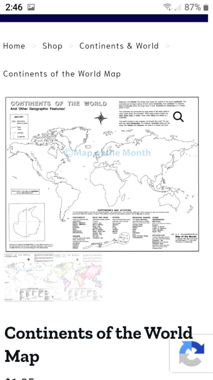
Find reasonably priced 16 x 20 inch outline maps at Map of the Month. They offer 89 different maps.

